Our Location
Nairobi, Kenya
FLIPS empowers businesses with flood prediction for disaster planning and individuals with tools to protect homes and livelihoods.
For innovation in flood prediction
Analyzing metrics daily
Accurate forecasts delivered
Trusted by agencies
FLIPS supports both businesses and individuals with tailored environmental data solutions.

Empower your organization with real-time flood predictions to enhance disaster preparedness, optimize insurance claims, and protect assets. FLIPS helps businesses like NGOs, government agencies, and insurance firms make data-driven decisions.
Protect Your Business
Stay safe with FLIPS’ flood alerts and water level monitoring. Whether you’re a homeowner, farmer, or community leader, our tools help you protect your family, property, and crops from environmental risks.
Safeguard Your HomeFLIPS delivers real-time flood predictions and environmental data for businesses to plan disaster response and for individuals to ensure personal safety. Learn More →
Call us anytime
+254 700 168 812
Of predicting flood occurrences.
Tailored features for businesses and individuals to manage environmental risks.
Tools to keep your home and family safe from floods.

Advanced features to support organizational planning.


Accurate environmental data for businesses and individuals to make informed decisions.
Dependable flood forecasts for disaster planning and personal safety.
Live updates for businesses to manage risks and individuals to stay safe.
Your data is protected, whether you're a business or an individual user.
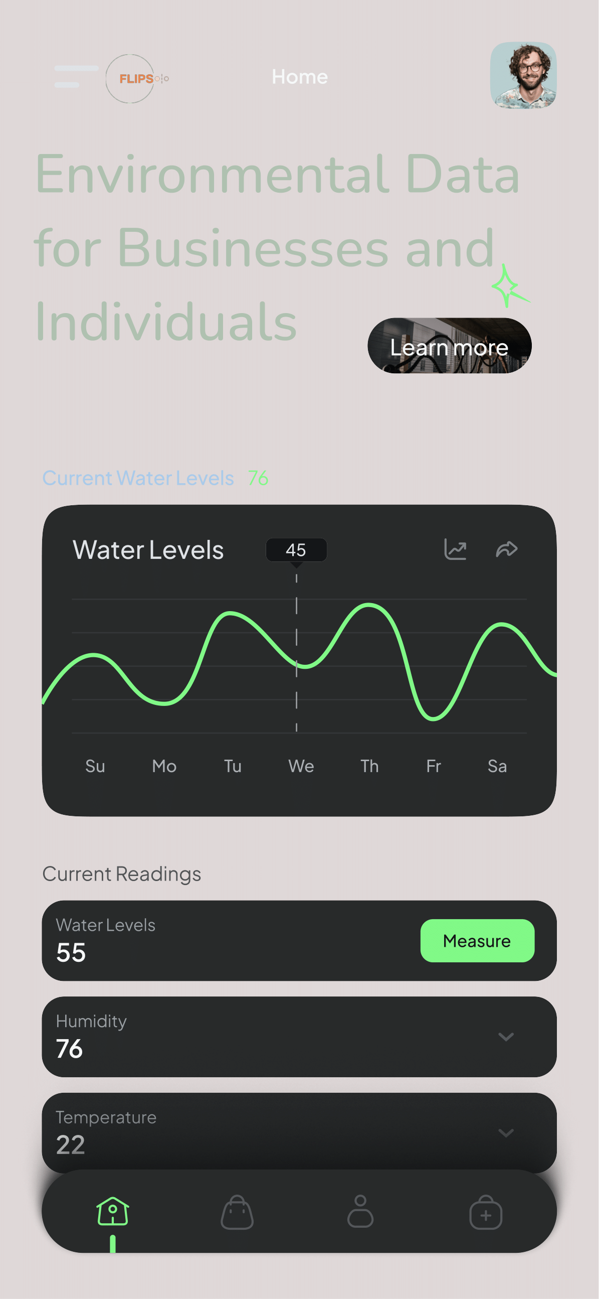
Access FLIPS seamlessly on desktops, tablets, or smartphones for real-time data anywhere.
Navigate effortlessly with clear, user-friendly icons designed for quick understanding.
Enjoy sharp, clear visuals optimized for all screen sizes and resolutions.

Built with clean, reliable code to ensure consistent performance across platforms.
FLIPS adapts perfectly to any device, ensuring a smooth user experience.
Works flawlessly on all major browsers for universal accessibility.
Protect your business or home with accurate flood predictions and environmental data.
Stay informed with the latest insights on flood prediction and environmental management.
.jpg)
Discover how AI is revolutionizing flood forecasting with 95% accuracy, helping businesses and individuals prepare better.
Read More.jpg)
Learn how real-time water level tracking can protect communities and optimize resource management.
Read More.jpg)
Explore how businesses leverage FLIPS data to safeguard assets and plan for flood events.
Read MoreHear from our business and individual clients!
FLIPS has been a game-changer for our agency. The real-time data and flood predictions have improved our disaster response, saving lives and resources.
As a farmer, FLIPS’ flood alerts helped me protect my crops. I also feel safer knowing my family can evacuate in time thanks to the SMS notifications.
FLIPS’ detailed flood risk reports have streamlined our claims process, allowing us to better serve our clients during flood events.
The intuitive dashboard helped our community prepare for floods, ensuring everyone was safe and informed.
Business Clients
Individual Users
Hours Of Support
Team Members
Services tailored for businesses and individuals.
Live updates for businesses to plan and individuals to stay safe from floods.
Read MoreMaps for businesses to visualize risks and for individuals to protect their properties.
Read MoreTools for businesses to manage resources and individuals to monitor local water levels.
Read MorePlans for every need—whether you're a business or an individual.
A 14-day trial for individuals and small businesses to explore FLIPS.
Ideal for individuals and small businesses needing more features.
Best for businesses and power users needing advanced tools.
Answers for both businesses and individuals.
FLIPS provides flood predictions and environmental data for businesses to plan and individuals to stay safe.
Businesses can integrate FLIPS data via API, access detailed reports, and get support for disaster planning.
Individuals receive flood alerts, monitor water levels, and get SMS evacuation notices to protect their homes.
Stay updated with the latest developments in flood prediction technology and events.
We are free and our clients can always reach out to us.
Reach out to us for support or inquiries about our flood prediction services.
Nairobi, Kenya
+254 700 168 812
flipsintelligence@gmail.com
Send us a message to learn more about how FLIPS can help you manage environmental risks.